
Running Map Zell am See-Kaprun
Bilingual running guide for the Zell am See-Kaprun region — from the lake loop to the glacier trail.




About the project
s-format® Twin-Card for Zell am See-Kaprun Tourismus
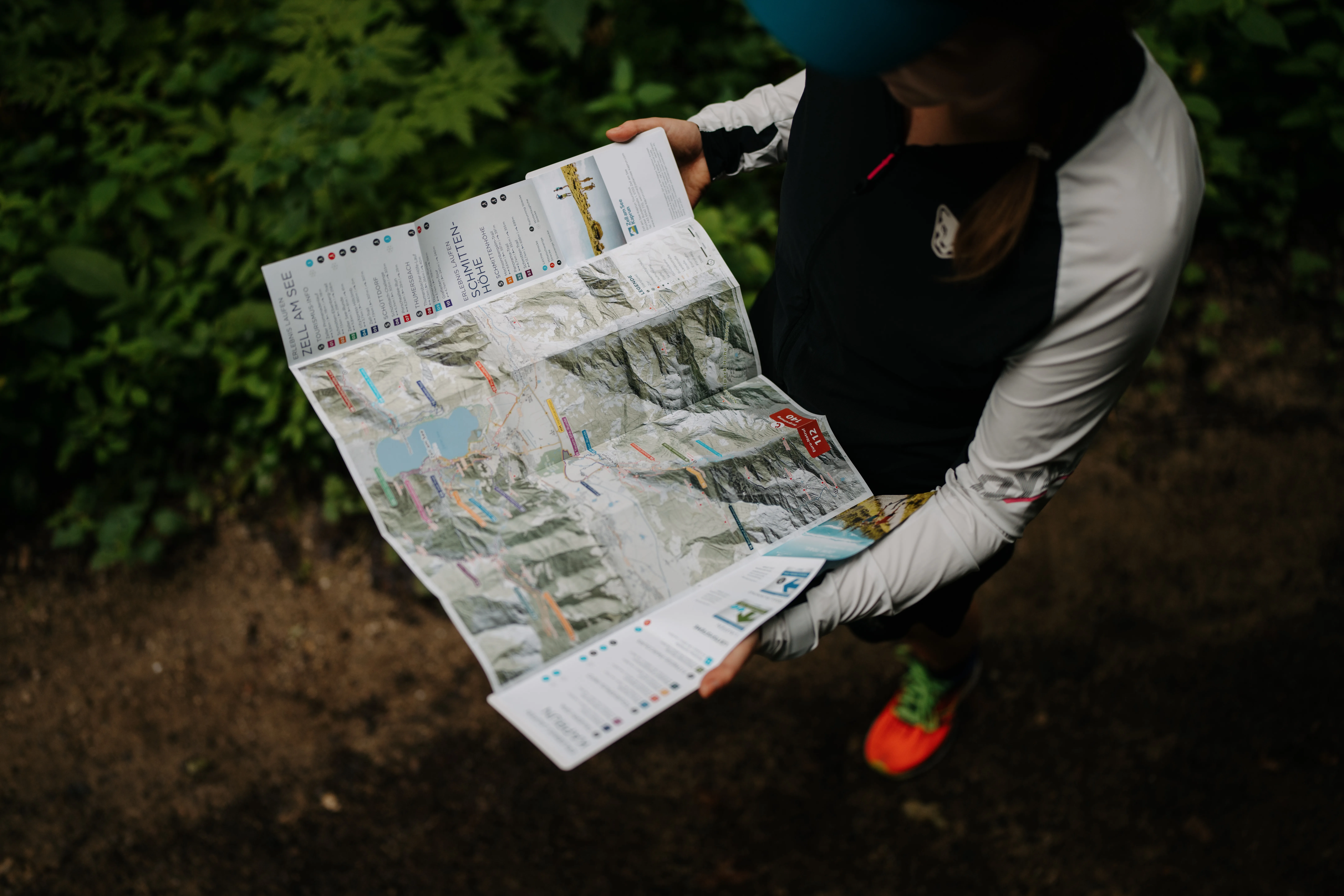
For the internationally renowned holiday region of Zell am See-Kaprun, we developed a comprehensive running map in the extended s-format® TWIN-Card format of 90x140mm. The bilingual folded map (German/English) presents all trail runs and running routes in the region between glacier and lake.
The challenge: Mapping a diverse mountain region with a wide variety of running routes for international guests in a clear and appealing way. Presenting both leisurely lake loops and demanding mountain runs on equal footing.
Our solution: The enlarged format offers ample space for detailed route information, elevation profiles and bilingual descriptions. The professional cover design makes the map both a coveted souvenir and a planning tool.
The result: A professional running guide that lives up to the destination's international reputation and offers runners of every level the perfect route — from the relaxed lakeside path to the challenging glacier trail.
Technical specifications
Format
Cover: 90×140 mm
Inner: 82×132 mm, open format 656×396 mm
Panel grid
8×3 panels
Printing
4/4 colors Euroscale + matte film lamination
Material
Cover: 350 g/m² chromo sulphate board, inside: 90 g/m² matte coated paper
Processing
die-cutting, trimming, accordion folding, gluing & packaging